WebGL Earth
March 2011 | By Klokan Technologies
Collection:

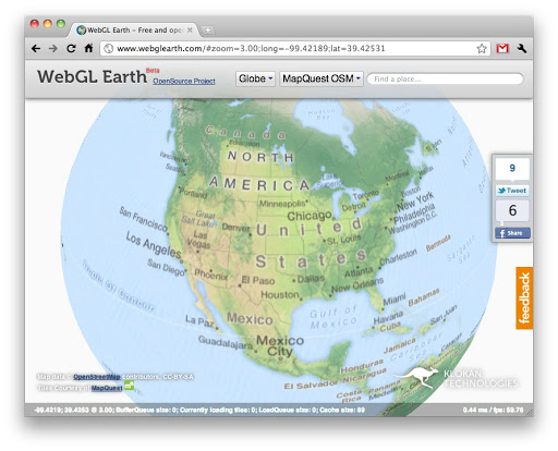
WebGL Earth is an open source project enabling to explore, zoom and “play” with the 3D globe directly in a web browser on any platform including mobile devices - without a plugin.
It supports detailed street-level data for the whole Earth (via OpenStreetMap), detailed aerial imagery (via Bing Maps) and any other custom maps which are available in popular Mercator tiles (prepared by MapTiler, GDAL2Tiles, TileCache, GeoWebCache, TMS, OGC WMS, OGC WMTS)